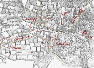
for more detail click here: Map of 1610
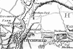
for more detail click here: Map of 1791
for more detail click here: Maps of 1810/11
W
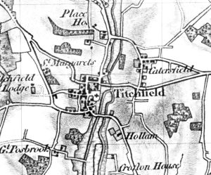
for more detail click here: Maps of 1814to30
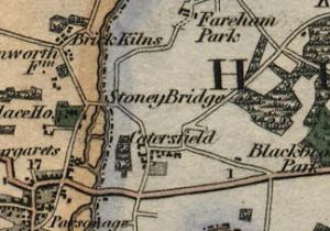
for more detail click here: Maps of 1814to30
for more detail click here: Maps of 1814to30
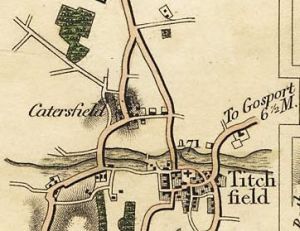
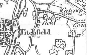
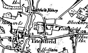
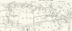
for more detail click here: Map of 1832
W
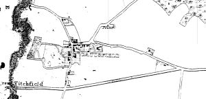
for more detail click here: Map of 1841
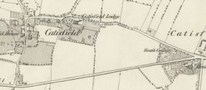
for more detail click here: Map of 1864
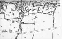
for more detail click here: Maps of 1870 and 1880
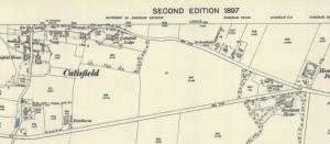
for more detail click here: map of 1897
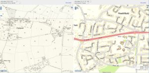
for more detail click here: Dual View maps of 1898
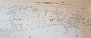
for more detail click here: Map of 1909
for more detail click here: Map of 1932
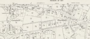
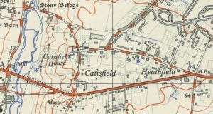
for more detail click here: map of 1946
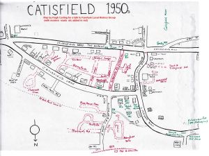
for more detail click here: Dr Carling's map
for more detail click here: Map of 1961
for more detail click here: Maps of 1964
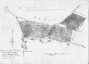
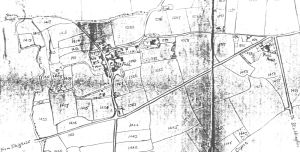
for more detail click here: Catisfield Various Maps
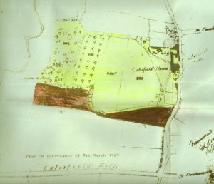
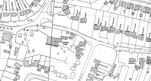
for a more detailed view of this Catisfield House map
click here: Catisfield Various Maps