| BACK to CATISFIELD Maps index page.. |
Catisfield - In Maps: 1841` |
Forward to NEXT Map. |
more text and explanation to go here sometime .....
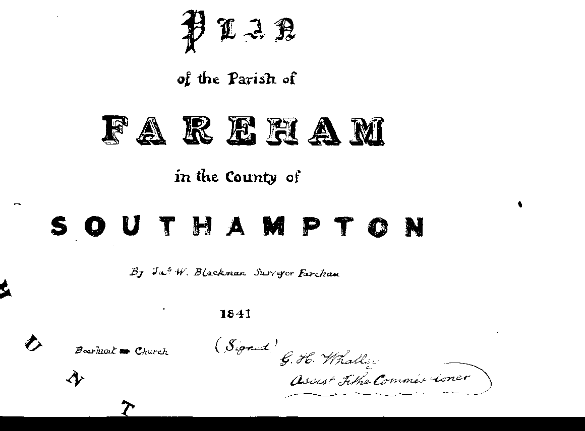
From the publication shown right
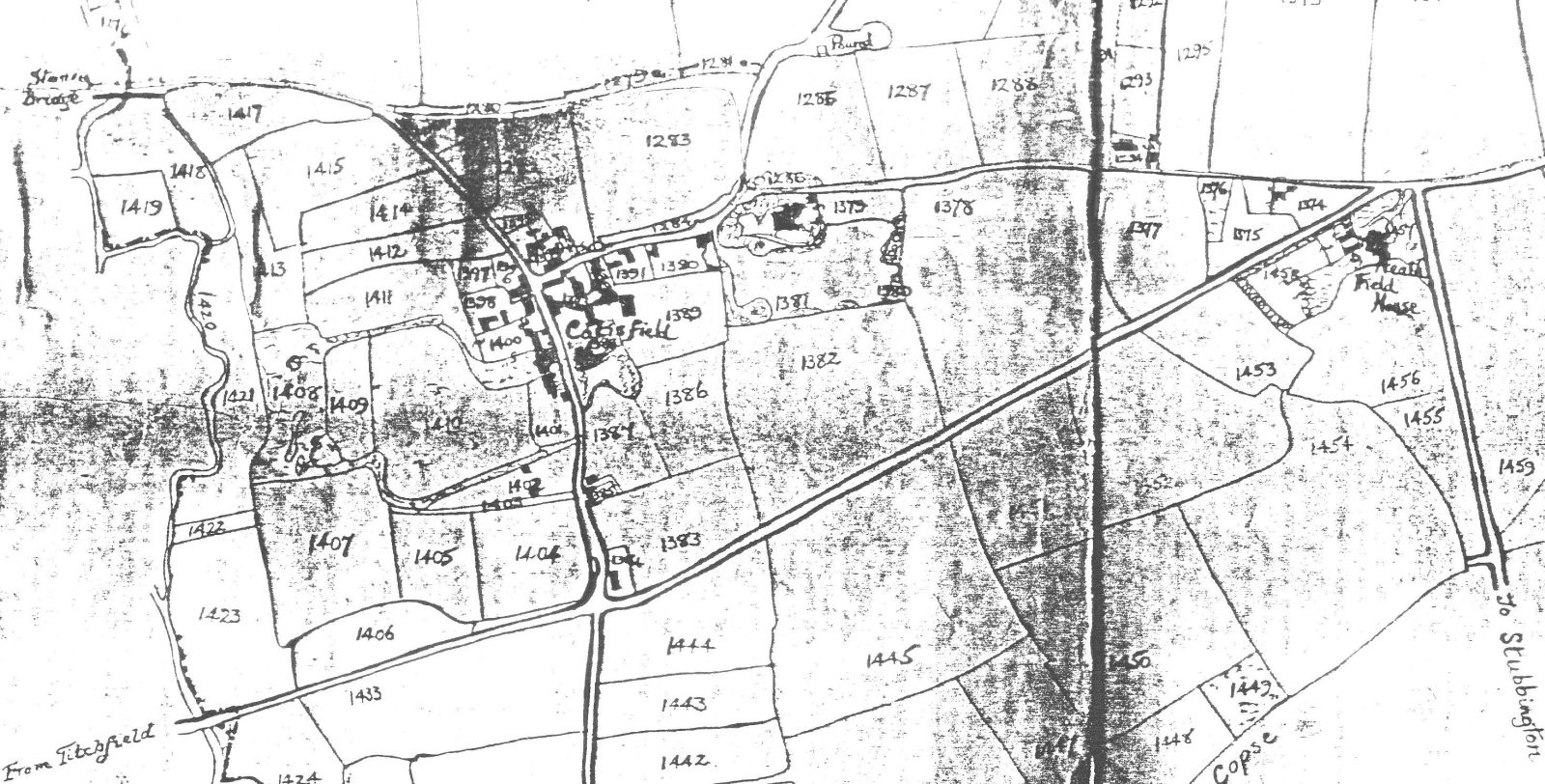
This extracted section shows the name "CATISFIELD".
The map usefully shows the field numbers.
Heathfield House is now shown. The track from Fishers Hill to Highlands Road re-appears.
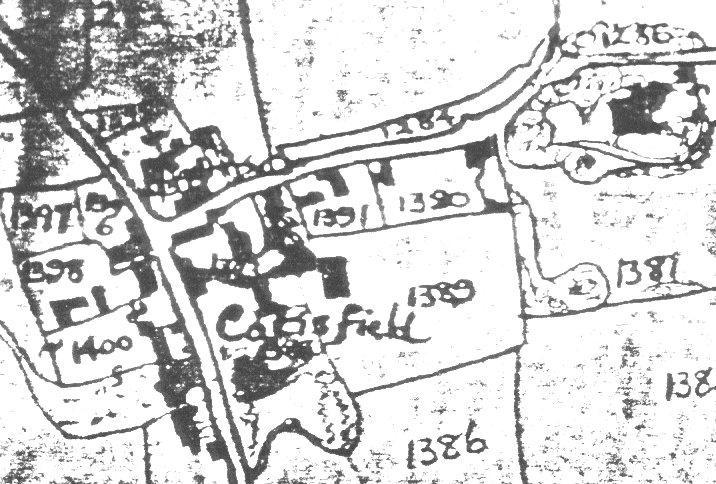
The lower closeup below right shows a bit more detail.
<
| BACK to CATISFIELD Maps main page.. go back to Top of this page |
Catisfield pages originally 'on the web' January 1996 Most recent revision: 22/2/2017 © Doug Glading ..... 1996-2017 |