runs from Titchfield Abbey, over the Anjou Bridge, and up to Catisfield Village. . . . . . . .
See also:
go to Titchfield Abbey page..
go to Anjou Bridge page..

Origin
Until 1811
Fishers Hill was the main route between Portsmouth/Fareham
and Southampton/Titchfield.
(The
direct road ('Catisfield Hill') from Heathfield to Titchfield was opened
on the first of June, 1811).
Among those who would have used it were probably Henry VI & Margaret of Anjou, William Shakespeare, Pepys.
1610 'The Great Map' of the Titchfield Estate shows Fishers Hill running straight-up to Highlands Road, bypassing Catisfield (ie following the track that runs to the north of the cottages today).
1791 Milne's map shows that Fishers Hill appears to follow today's route (ie running up to the Post Office).
to add : links to other site pages ( timeline, other
maps)
Images
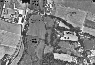
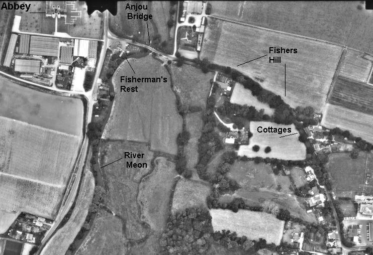
Fishers Hill from the air Titchfield Abbey is in the top-left corner and Catisfield centre in the bottom-right.
Zoom in on picture..
Maxi-Zoom in on picture..
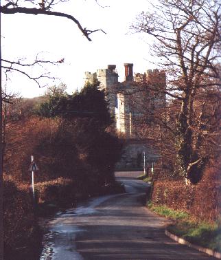
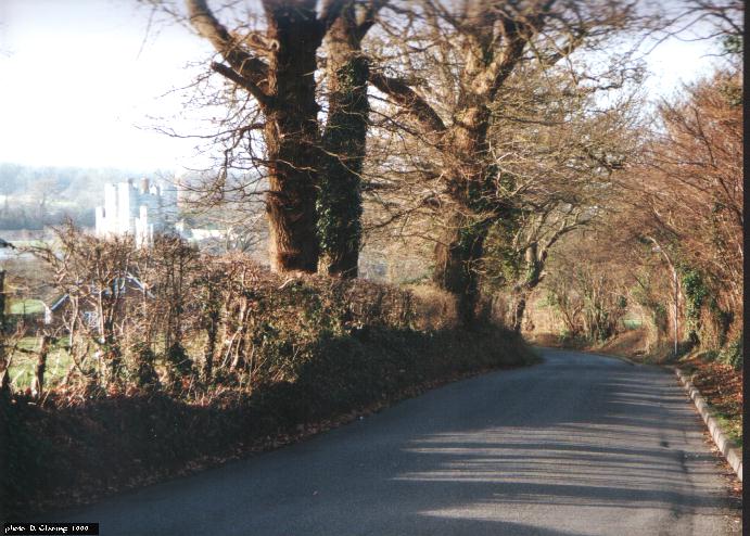
 The
bottom of Fishers Hill, looking towards Titchfield Abbey and Anjou Bridge.
The
bottom of Fishers Hill, looking towards Titchfield Abbey and Anjou Bridge.
Zoom in on picture..
Maxi-Zoom in on picture..
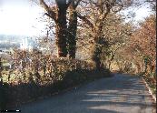 Looking down
from the middle of Fishers Hill
Looking down
from the middle of Fishers Hill (the Abbey and the Meon Valley in the distance).
Zoom in on picture..
Maxi-Zoom in on picture..
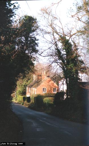
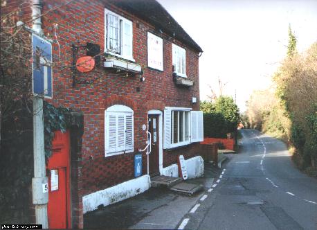
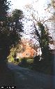 The cottages
half-way down Fishers Hill, looking down the hill.
The cottages
half-way down Fishers Hill, looking down the hill. Zoom in on picture..
Maxi-Zoom in on picture..
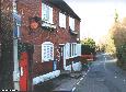 The top of Fishers
Hill, looking down the hill.
The top of Fishers
Hill, looking down the hill. Zoom in on picture..
Maxi-Zoom in on picture..
Catisfield pages originally 'on the web' January 1996
Most recent revision: 27 January 2006 © Doug Glading ..... 1996-2006